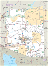
Ways to Target Lists Based on Geography
Zip codes are the most common term used to describe lists based on geography.
- County
- Area Codes
- Cities
- Political Districts
- A Specific Radius From An Exact Address (Every house within 5 Miles of Store)
- Latitude and Longitude
- Standardized Metro Areas (SMSA)
This is not the complete listing of every available option.
Geographic lists are known by many names: saturation lists, geo-select lists and district lists are just some of the other names for lists selected by place.
Please call us at 602-272-2100 so we can discuss your specific needs and work to find you the best list for the right price.

